24 R DENNIS LN
Owner Information
KOWALSKI ROSEMARIE
24 DENNIS LN
WAREHAM, MA 02571


Property Details
24 R DENNIS LN is classified as a Undevelopable Residential Land (Vacant land).
24 R DENNIS LN is valued at $6,200. The land is valued at $6,200 and the structures are valued at $0.
This property is in Zone MR30. Confirm with local Zoning Board authorities to ensure there are no overlays or other easements on this property.
The most recent deed for 24 R DENNIS LN is recorded at the local registrar in Book 45494, Page 0282. 24 R DENNIS LN was last sold on Thursday, April 30, 2015 for $120,000.
Assessment data from fiscal year 2022.
Flood Data
According to the FEMA National Flood Hazard Layer, this property does not appear to be in a flood zone. It may also be in an area not yet reviewed. Nonetheless, confirm this information prior to taking any action.
To view the flood hazards around this property, create a FEMA "Firmette" Map of the area around 24 R DENNIS LN.
Broadband Internet Providers
| Provider | Type | Bandwidth (mbps) | |
|---|---|---|---|
| T-Mobile | Fixed Wireless | 25 | 3 |
| Viasat Inc | Satellite | 35 | 3 |
| Verizon New England Inc. | DSL | 10 | 1 |
| Verizon New England Inc. | Fiber | 940 | 880 |
| Comcast | Cable | 1000 | 35 |
| GCI Communication Corp. | Satellite | 0 | 0 |
| HughesNet | Satellite | 25 | 3 |
| VSAT Systems, LLC. | Satellite | 2 | 1 |
Broadband service provider data from December 2020.
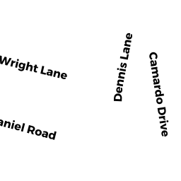
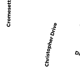
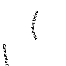
Adjacent Properties
- 21 CHRISTOPHER DR
Single Family Residential owned by ACHILLE ROCCO F - 26 DENNIS LN
Single Family Residential owned by MILLS STEWART C - 24 DENNIS LN
Single Family Residential owned by KOWALSKI ROSEMARIE - 12 WRIGHT LN
Single Family Residential owned by GOMES BENJAMIN L - 22 DENNIS LN
Single Family Residential owned by MICHAELS KENNETH R JR